Tilari Ghat – Amazon of Maharashtra 

You are currently viewing Tilari Ghat – Amazon of Maharashtra 
Tilari Ghat - Amazon of Maharashtra

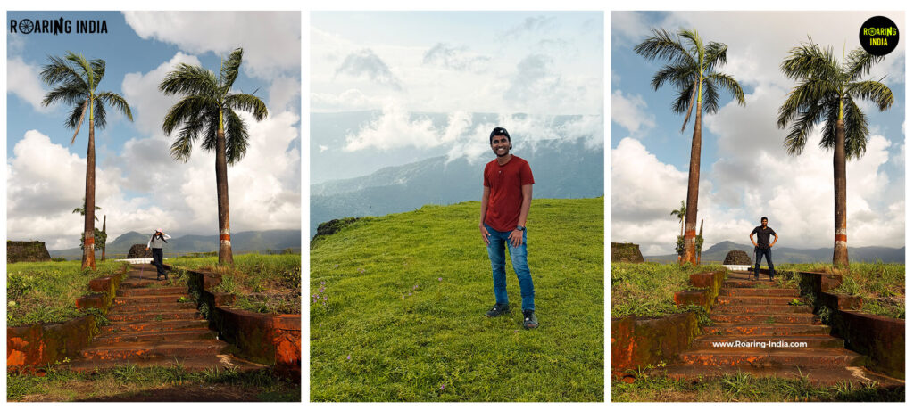
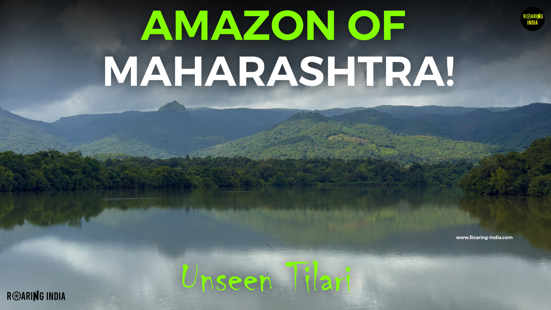
             Hidden in the lush green mountains of the Western Ghats, Tilari Ghat is one of Maharashtra’s most beautiful and lesser-explored mountain routes, connecting Chandgad in Kolhapur district with the Konkan region of Sindhudurg and Goa. Often called the Amazon of Maharashtra, this region is known for its dense evergreen forests, winding mountain roads, mist-covered valleys, beautiful waterfalls, rich biodiversity, and breathtaking landscapes. Located along State Highway 130, Tilari Ghat offers a scenic alternative to the more popular Amboli and Chorla Ghats for travellers heading towards Goa. From watching clouds slowly drift through the mountains at Tilari Valley Viewpoint to exploring hidden forest waterfalls, ancient local traditions, and the massive Tilari Dam, this region offers much more than just a beautiful road journey. It is also home to the Tilari Conservation Reserve, an important wildlife corridor in the Western Ghats. Whether you love road trips, nature photography, waterfalls, forests, or discovering unexplored destinations, Tilari Ghat is a wonderful place to experience the untouched natural beauty of Maharashtra.

Tilari Ghat Tourist Locations

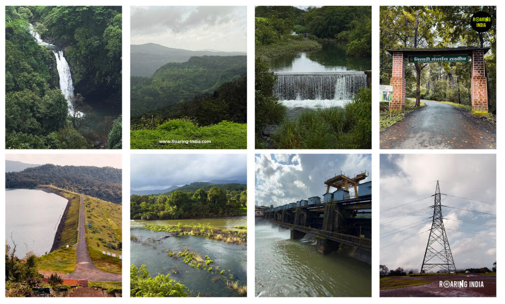
Best Tourist Locations of Tilari Ghat, Maharashtra, India

1. Tilari Valley Viewpoint

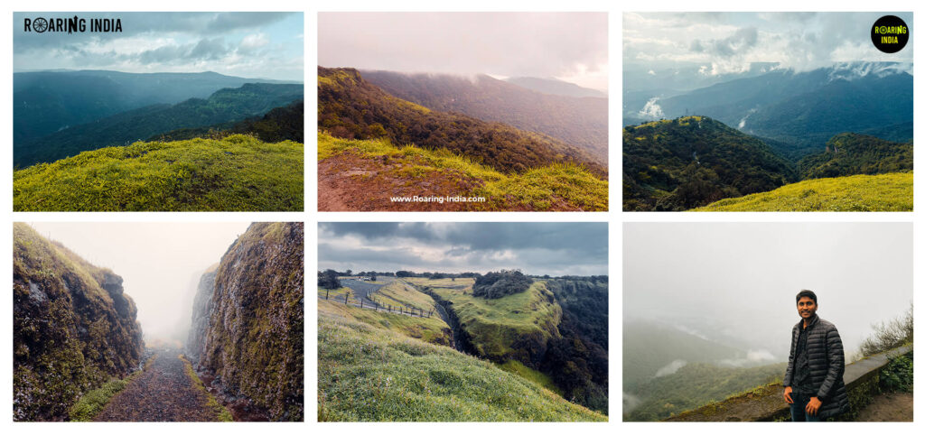
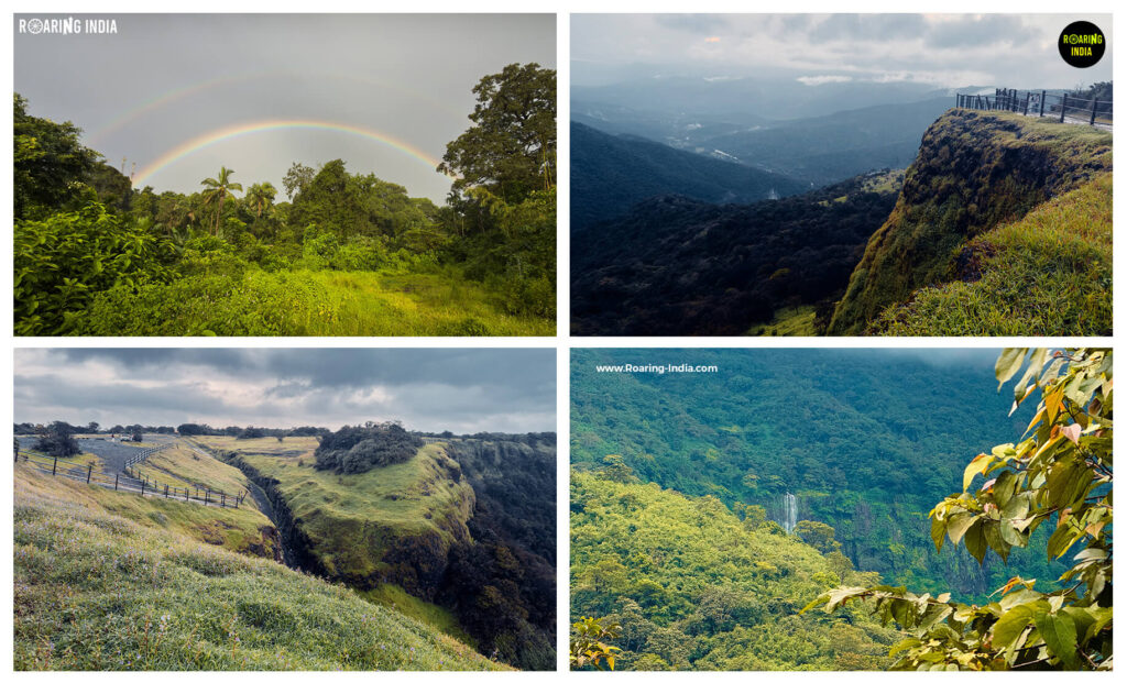
          Located in Chandgad Taluka of Kolhapur district along State Highway 130, Tilari Valley Viewpoint offers beautiful panoramic views of the surrounding mountains, dense evergreen forests, and deep valleys. During the early morning, the entire valley is often covered in thick mist and clouds, creating a spectacular natural landscape. As the sun rises, the fog slowly clears to reveal the magnificent green mountains. It is also a wonderful location for nature photography and sunset views, depending on the weather.

Tilari Valley Viewpoint

2. Tilari Green Valley Waterfalls

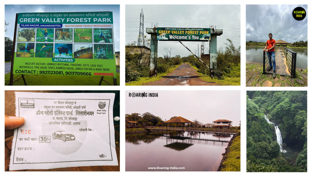
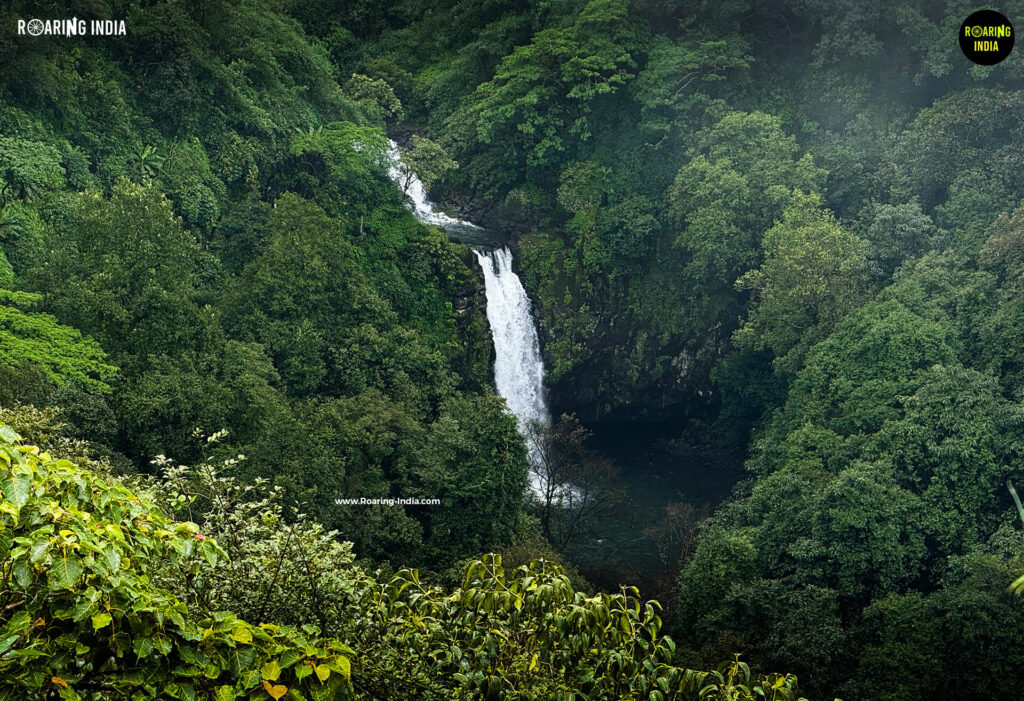
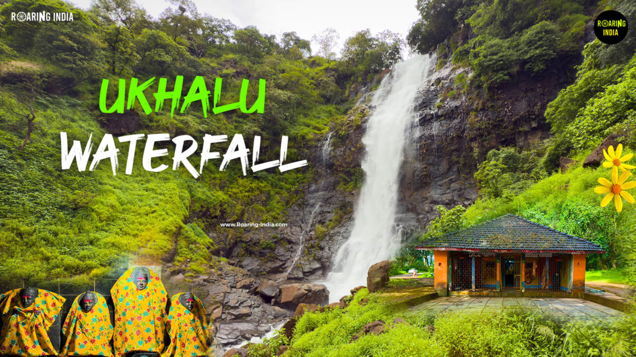
Located inside Green Valley Forest Park, approximately 1.5 km from Tilari Nagar Junction, Green Valley Waterfalls is one of the main attractions of the Tilari region. Surrounded by dense forests and tall green mountains, this waterfall can be viewed from a dedicated viewpoint after descending around 200 steps from the parking area. Interestingly, this waterfall is connected to the Tilari Power Canal, which carries water from Dhamne Dam for hydroelectric power generation. The overflow from this canal creates the waterfall. Therefore, its water flow is not entirely dependent on rainfall, although its appearance and flow can change according to the season and project operations.

Tilari Green Valley Forest Park
Tilari Green Valley Waterfalls

3. Nana Waterfalls (Popular Waterfalls)

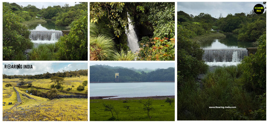
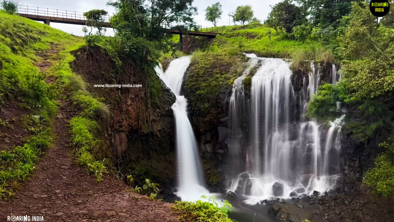
Nana Waterfalls, locally known as Popular Waterfalls, is a small but beautiful waterfall located approximately 1 km from Tilari Nagar Junction. Formed by the overflow of the Tilari Power Canal, this hidden attraction is surrounded by dense forests and greenery. Although it is not very tall, its peaceful surroundings make it a lovely stop during a Tilari Ghat road trip.

Nana Waterfalls or Popular Waterfalls

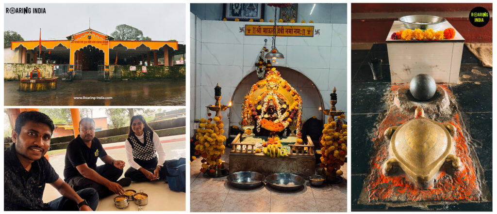
4. Shri Mauli Devi Temple, Kodali

Located in Kodali village, approximately 2 km from Tilari Nagar Junction, Shri Mauli Devi Temple is an important religious and cultural attraction in the region. Dedicated to Mauli Devi, who is worshipped in local traditions as a form of Goddess Durga and the guardian goddess of surrounding communities, the temple reflects the traditional architectural style of the Konkan and hilly regions. It offers visitors an opportunity to experience the local faith and cultural traditions alongside the natural beauty of Tilari.

Shri Mouli Devi Temple Kodali

5. Tilari Ram Ghat

Tilari Ram Ghat is one of the most exciting sections of the route, known for its winding mountain roads, J-shaped curves, S-shaped turns, and challenging hairpin bends. The approximately 8 km ghat section offers magnificent views of dense forests, tall mountains, natural streams, and waterfalls flowing through the surrounding hills. It is a beautiful route for road-trip enthusiasts, but drivers should exercise extra caution because of sharp turns and limited visibility in certain sections.

Tilari Ghat
Tilari Ghat

6. Tilari Conservation Reserve

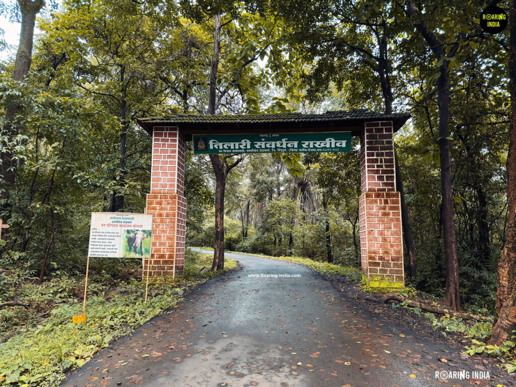
The forests around Dodamarg are among the most important natural attractions of the Tilari region. To protect this rich biodiversity, the Maharashtra Government declared approximately 29.53 square kilometres of forest area as the Tilari Conservation Reserve in June 2020. These forests include evergreen, semi-evergreen, and moist deciduous vegetation and form an important corridor for wildlife movement in the Western Ghats. The presence of animals such as tigers, leopards, and elephants has been recorded in this region. Its rich natural environment makes Tilari an important destination for understanding and appreciating the biodiversity of the Western Ghats.

Tilari Conservation Reserve

7. Terwan-Medhe Pickup Weir

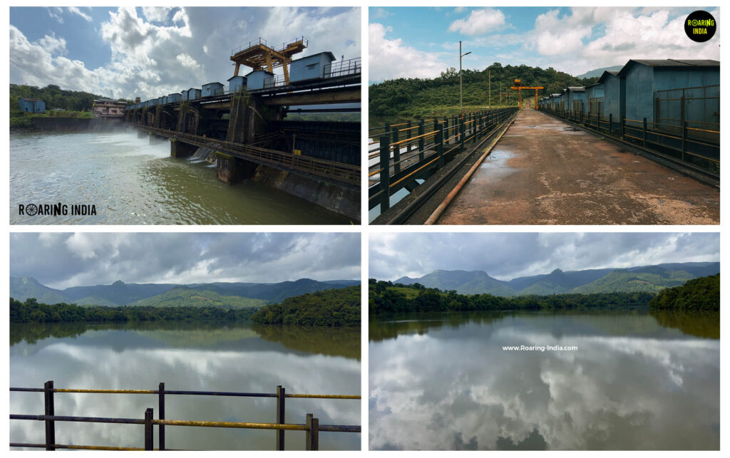
Located inside the forest region of Dodamarg, Terwan-Medhe Pickup Weir is an important component of the Tilari Hydro Electric and Irrigation Project. It helps regulate water flow and arrange the supply of water to irrigation canals. Visitors can also understand how a large water-management system operates amidst the mountains and forests. Entry may require identity verification and permission.

Terwan-Medhe Pickup Weir

8. Tilari Main Dam

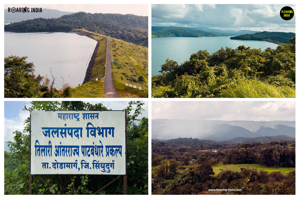
Located in Dodamarg Taluka of Sindhudurg district, Tilari Main Dam is a major attraction known for its massive reservoir surrounded by green mountains and dense forests. The dam is an important part of the joint Tilari Hydro Electric and Irrigation Project developed by the Maharashtra and Goa governments.

The project supports water storage, hydroelectric power generation, irrigation, and water management. Its hydroelectric power station near Kodali village has an installed capacity of approximately 60 MW. Water from the project is channelled through the power canal to generate electricity before being directed into the downstream water-management system.

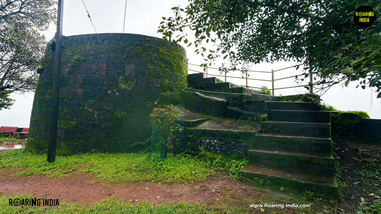
The dam viewpoint also offers distant views of Paragad Fort and the surrounding mountain landscape. Visitors should note that access to the viewpoint requires identity verification and permission.

Tilari Main Dam
Tilari Main Dam

9. Tilari River Bridge

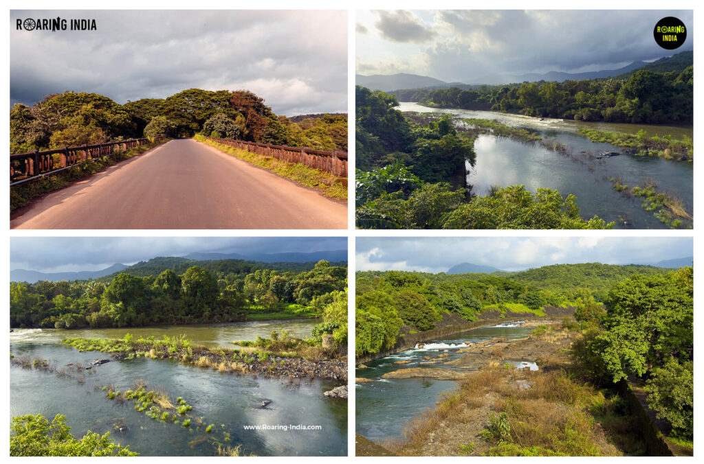
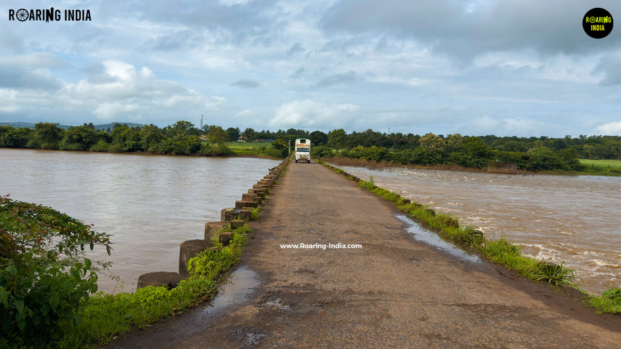
The Tilari River bridge is another important part of the region’s natural and geographical identity. From this bridge, you can see the beautiful view of the Tilari river flowing out from Tilari dam. The river continues towards Goa, where it is known as the Chapora River, eventually reaching the Arabian Sea near Morjim. 

Tilari River Bridge
Tilari River Bridge

Tilari Hydroelectric and Irrigation Project

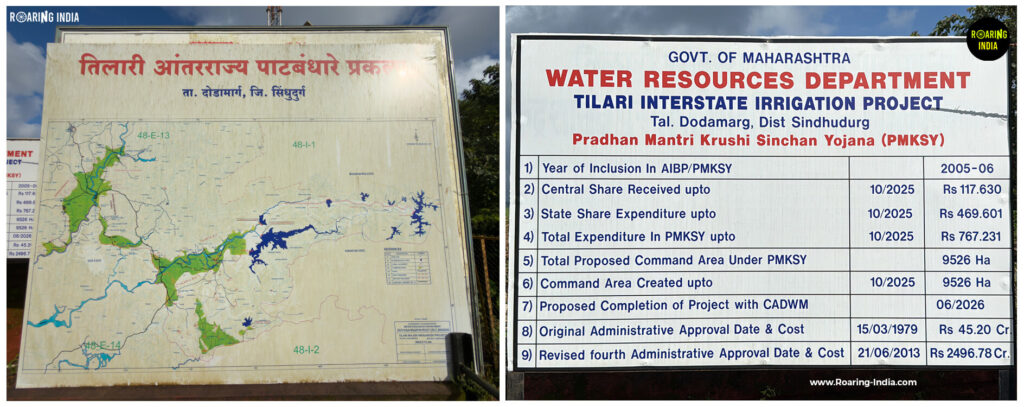
The Tilari Hydroelectric and Irrigation Project is a major joint development project of the Maharashtra and Goa governments, designed to support hydroelectric power generation, irrigation, and water management. The story of this project begins in the Western Ghats, where the Tilari River originates around Tudiye and Hajgoli villages in Chandgad Taluka of Kolhapur district, Maharashtra. As the river flows through the mountains, its water becomes part of a larger system of dams, canals, and reservoirs developed under the project. One of its important components is Dhamne Dam, from where water is carried through a power canal towards the hydroelectric power station near Kodali village. Here, the force of flowing water rotates turbines to generate electricity. According to government documents, the installed capacity of this power station is approximately 60 MW. After electricity generation, the discharged water is directed into the downstream water-management system, where structures such as the Terwan-Medhe Pickup Weir help regulate its flow and arrange its distribution through irrigation canals. The project also includes the massive Tilari Main Dam, located in Dodamarg Taluka of Sindhudurg district, which stores water collected from the surrounding mountains, forests, the Tilari River, and its tributaries. From this entire system, water is managed and supplied towards irrigation networks serving agricultural areas in Maharashtra and Goa. According to the Goa Government’s Water Resources Department, the planned irrigation share of the joint project is approximately 73.30% for Goa and 26.70% for Maharashtra. After passing through different stages of this water-management system, the river continues its journey towards Goa, where the Tilari River is known as the Chapora River. It flows through northern Goa, passes near Chapora Fort, and eventually meets the Arabian Sea near Morjim. What makes this project remarkable is the way water originating in the mountains of Maharashtra is managed through an interconnected system to generate electricity, support agriculture, and fulfil water-related needs across two states. It is a fascinating example of how nature and engineering work together, connecting the forests and rivers of the Western Ghats with the lives and livelihoods of people far downstream.

Tilari Hydroelectric and Irrigation Project

Best Time to Visit Tilari Ghat

The best time to visit Tilari Ghat is during the monsoon and post-monsoon seasons, from June to November, when the mountains turn lush green, waterfalls flow beautifully, and the valleys are often covered in clouds and mist. June to September is ideal for enjoying the monsoon scenery, while October and November offer clearer mountain views and seasonal wildflowers. Early mornings are particularly beautiful at Tilari Valley Viewpoint, when clouds drift through the valleys. However, heavy rainfall and fog during the monsoon can reduce visibility and make the mountain roads slippery, so drive carefully. 

Best Time to Visit Tilari Ghat

Trek or Entry Fees Information – Tilari Ghat

  • Tilari Ghat: No general entry fee; accessible by public road.
  • Green Valley Forest Park: Free entry at the time of our visit; ₹30 car parking fee. Around 200 steps walk to the waterfall viewpoint.
  • Nana Waterfalls: Approximately 1 km from Tilari Nagar Junction; no confirmed entry fee.
  • Shri Mauli Devi Temple: Located in Kodali village, around 2 km from Tilari Nagar Junction.
  • Tilari Ram Ghat: Approximately 8 km of winding mountain roads; no separate entry fee.
  •  Terwan-Medhe Pickup Weir: Identity verification and permission required during our visit.
  • Tilari Dam Viewpoint: Identity verification and permission required; no entry fee was charged during our visit.
  • Note: Entry rules, permissions, and parking charges may change. Check with the concerned authorities before visiting.
Trek or Entry Fees Information

Special Notes for Visitors

  •  Drive carefully through Tilari Ghat, especially at sharp hairpin bends and narrow sections with limited visibility.
  •  During the monsoon, heavy rainfall, fog, slippery roads, and flowing water can make driving challenging.
  •  Avoid stopping your vehicle at dangerous curves or obstructing other road users.
  • Some sections of the forest have limited or no mobile network connectivity.
  • Follow Forest Department instructions and do not enter restricted forest areas or waterfall zones.
  •  Avoid attempting to descend below the Green Valley Waterfalls viewpoint where forest access is restricted.
  •  Maintain a safe distance from wildlife, including elephants, tigers, and leopards. Never approach, feed, or chase wild animals.
  •  Be particularly careful around waterfalls, canals, dams, bridges, and river outlets. Water levels and flow can change suddenly.
  •  Carry drinking water, food, and essential supplies, as facilities are limited in some forest sections.
  • Carry valid identification documents when visiting locations that require verification and permission.
  •  Avoid littering and help protect the forests, rivers, and natural surroundings.

How to Reach the Tilari Ghat?

Tilari Ghat is located in Chandgad Taluka of Kolhapur district, Maharashtra, along State Highway 130, which connects Maharashtra with Sindhudurg and Goa. It is approximately 150 km from Kolhapur and 70 km from Panaji, Goa. The route can be accessed from Chandgad via Tilari Nagar and is best explored by car or motorcycle, offering a scenic drive through winding mountain roads, dense forests, and beautiful valleys.

Google Map Link – Tilari nagar valley view point

Travel Film of Tilari Ghat

Nearest Tourist Places to Tilari Ghat

  1. Kitwad Waterfalls (47 KM)
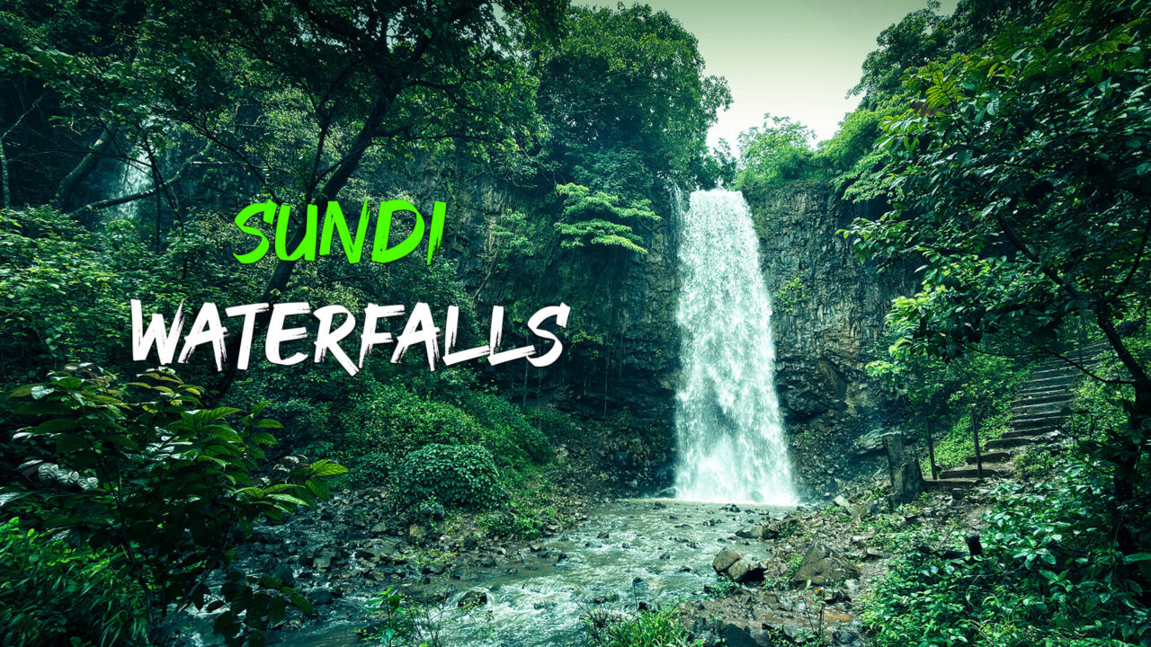
  2. Sundi Waterfalls (36.4 KM) 
  3. Shri Vaijnath Temple, Devarwadi (39 KM)
  4. Mahipalgad Fort (40 KM) 
  5. Kalanidhigad Fort (24.7 KM) 
  6. Pargad Fort (32.7 KM)
  7. Amboli Ghat (53 KM) 

Safety Rating

1.5
Rated 1.5 out of 5

Travel News on Tilari Ghat

Copyright and Trademark Warning 

Complete Rights of all Images, Videos, Films, and Articles published on www.Roaring-India.com are fully Reserved by Roaring Creations Private Limited and Roaring India Project (Satishkumar, Shrikant, and Mayashree). All Commercial Rights of our content are registered and protected under Indian Copyright and Trademark Laws. Re-publishing our content on Google or any other social media site is a copyright and Trademark violation crime. If such copycats are found to us, then we legally punish them badly without showing any mercy and we also recover happened loss by such copycats only. The minimum amount of fines will be more than 10 crores.